


Save Soil at GIFTS-2025 | Geospatial Innovation for Sustainable Futures - Pune, 3rd September 2025
Sep 30, 2025
By Dhyana Balasubramanian, GIS Analyst, Conscious Planet - Save Soil.
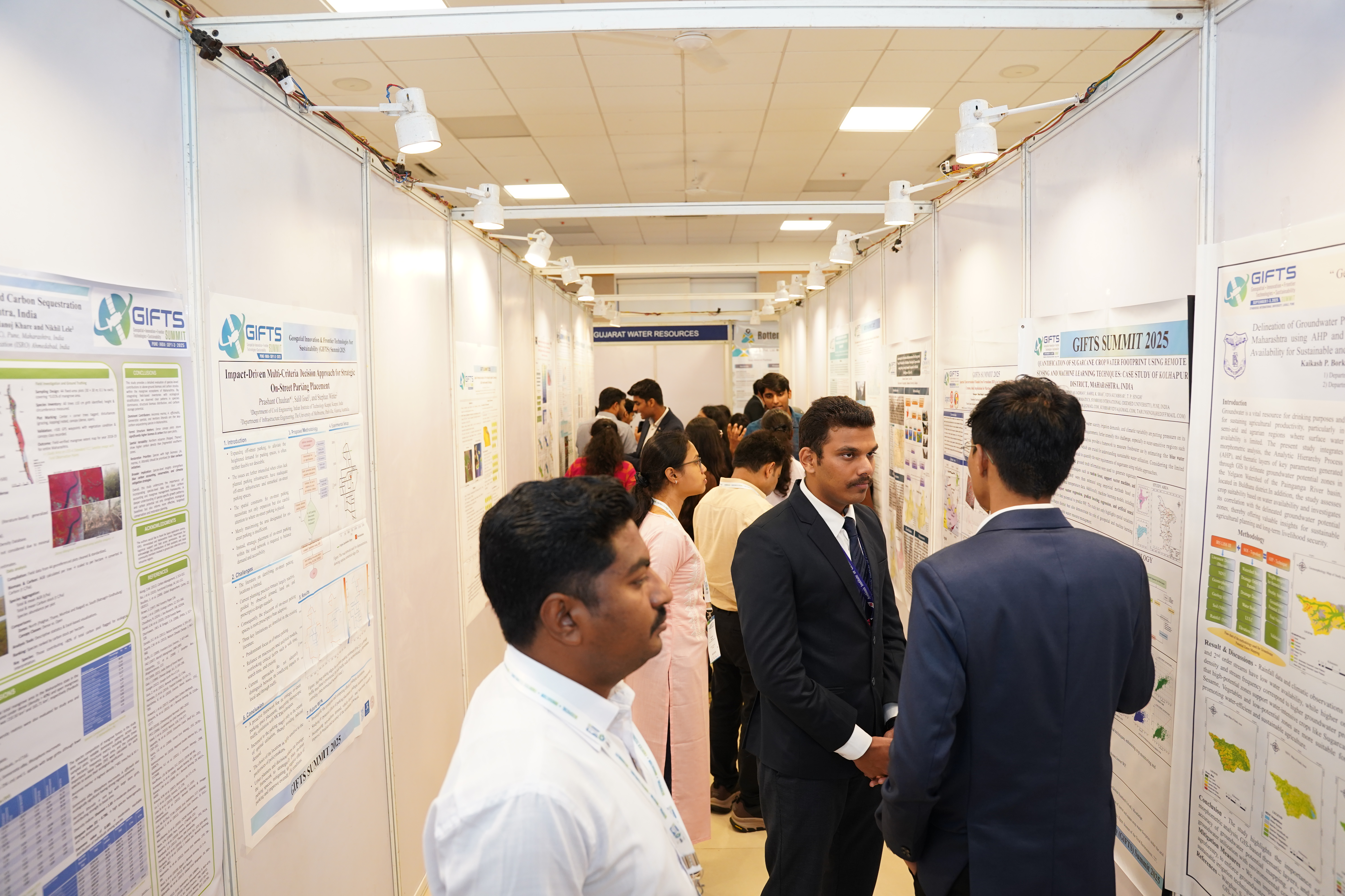
GIFTS-2025 is a three day premier international conference on Geospatial Innovation and Frontier Technologies shaping sustainable development. The conference brought together global experts, policymakers, and industry leaders to explore how technologies like Earth Observation, AI, and Digital Twins can drive climate resilience, sustainable governance, and socio-economic progress.

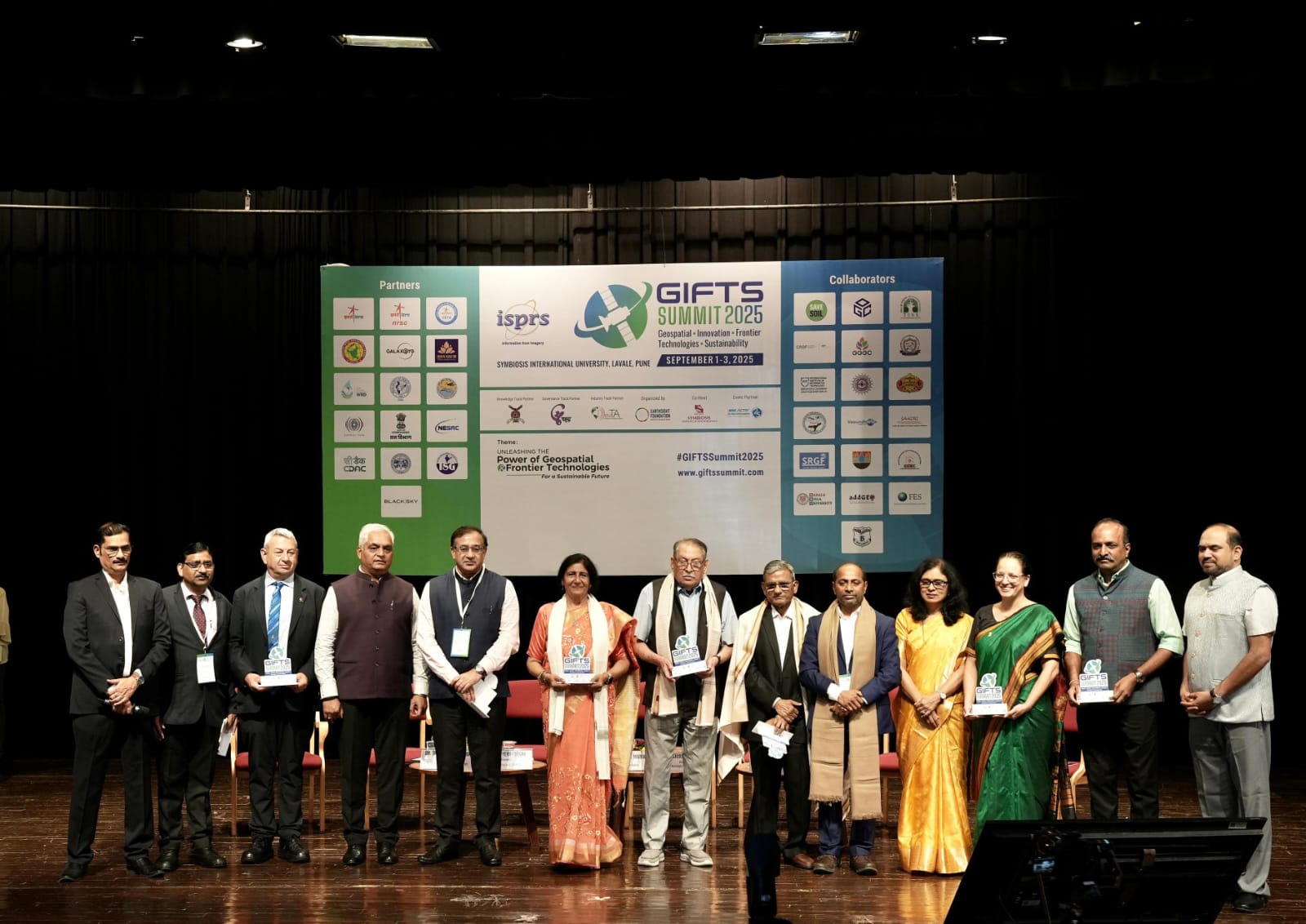
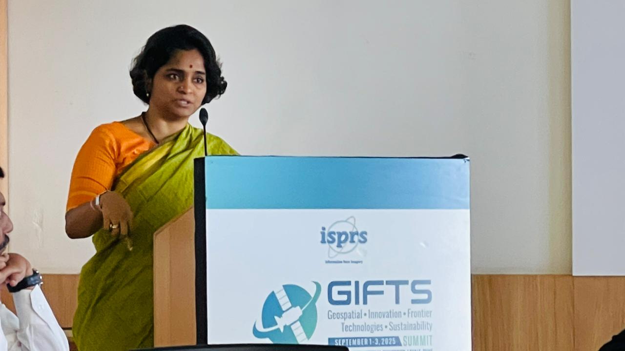
Save Soil joined GIFTS Summit shaping sustainable development as a Supporting and Knowledge Partner. As part of our engagement, we hosted a high-level roundtable discussion on “How Geospatial Technology Can Support National Soil Health Policy in Assessment, Planning, Monitoring, and Evaluation.” The session began with a presentation on the Save Soil movement, followed by a distinguished panel featuring: Dr. Bharat Kakade (President & Managing Trustee, BAIF), Dr. Chandrashekhar Biradar (Chairman & MD, Global Green Growth), Dr. Sultan Singh (Director, HARSAC), Dr. Shirish Ravan, Founder & Director, EarthSight Foundation advancing grassroots sustainability | Former UN Senior Leader driving global programmes in Space & Geospatial Innovation, moderated by Ms. Praveena Sridhar, Chief Science & Policy Officer – Save Soil Movement.

The audience was equally engaging, with diverse participants actively contributing to the dialogue. Notable figures included Dr. Shimrit Maman (Chair, Israel Space Agency), Dr. Salvatore Amaduzzi (University of Udine, Italy), Mr. Bhupesh Gupta, (Founder, GeoNomads Consulting), and Dr. Sanjay Srivastava (expert in disaster risk reduction and climate resilience), all of whom enriched the discussions with their insights and expertise.
Key takeaways from the panel:
A stronger and more reliable knowledge base is crucial for shaping agricultural policies. While consolidating existing datasets on a common platform is essential, the greater challenge lies in the limited and uneven collection of data, which must be strengthened to achieve these outcomes.
Integrate field-level data with satellite observations and AI-driven analytics to generate actionable insights, enabling more precise, timely, and effective agricultural decision-making.
Sustained investment in data collection systems and AI-driven applications.
Build frameworks for policy action that bridge science, governance, and ground realities.
Soil often remains neglected in climate and biodiversity action, largely due to the perceived difficulty of monitoring and managing it amidst fragmented data and decentralized land use. At GIFTS, we explored how geospatial technologies can change this narrative, helping us understand what exists, what is missing, and what actions are needed to bring soil into the center of climate solutions.
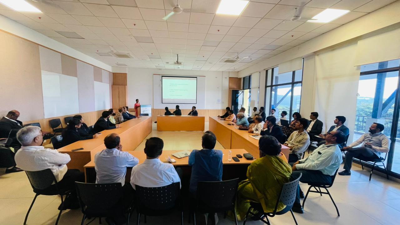
Apart from the Roundtable our team actively engaged in the conference, attending panel discussions and lead talks, and listening to paper presentations across the three main tracks - Governance, Knowledge, and Industry. We also contributed to breakout session dialogues, gaining valuable insights while sharing perspectives from the Save Soil movement.
Governance track
This track focused on the application of geospatial technologies in policymaking, disaster management, and citizen engagement. Sessions offered valuable insights into how departments such as urban development and agriculture, among others, currently operate and integrate geospatial solutions into their workflows. Discussions highlighted both the progress made and the challenges that remain in harnessing these tools more effectively for planning, growth, and monitoring.While progress is evident, discussions highlighted a strong need to strengthen these applications particularly in agriculture, where tools such as crop mapping, soil health monitoring, irrigation planning, and early warning systems can significantly enhance productivity, resilience, and sustainability, while also improving the effectiveness of government support programs for farmers.
Knowledge Track
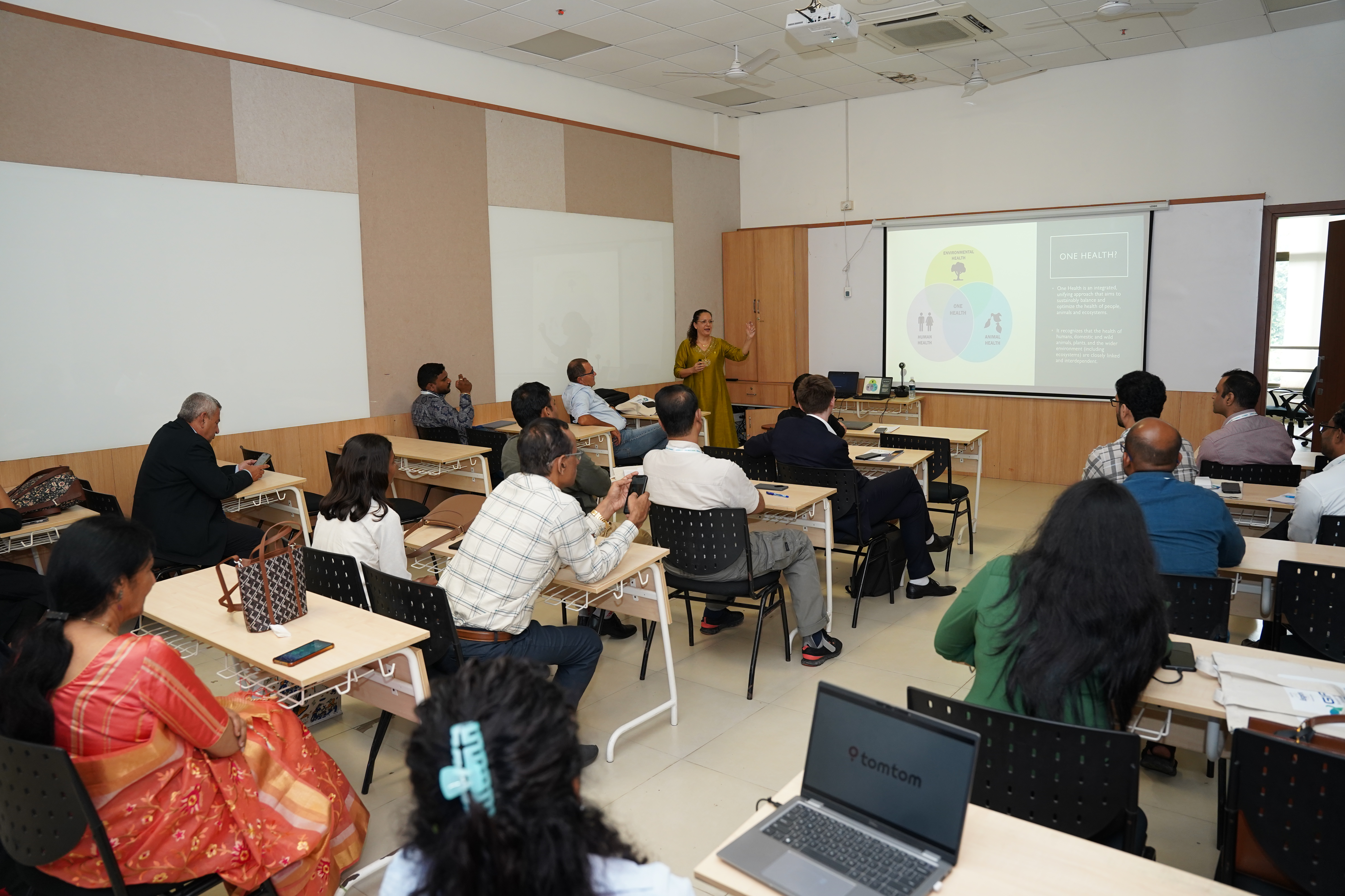
This track featured technical workshops that our volunteers from Save Soil Onground initiatives attended. The sessions provided them with exposure to practical applications of geospatial technologies and insights into how these tools could be adapted to support their work.

Industry track
The sessions highlighted how Geospatial technology is increasingly influencing sustainable development, national security, and emerging business frontiers. From a Save Soil perspective, the most relevant insight was the forward-looking view of how geospatial and space-based innovations intersect with sustainability particularly in monitoring soil health, land use, and climate impacts at scale. The track also offered a platform for networking and collaboration, opening avenues to connect with industry leaders and innovators who can bring advanced tools to strengthen soil conservation, sustainable agriculture, and resource management.
GIFTS-2025 reaffirmed the critical role of geospatial innovation in advancing soil health, sustainability, and climate resilience. By bridging science, policy, and grassroots action, the summit opened new pathways for collaboration and innovation. For Save Soil, it was a valuable opportunity to strengthen partnerships and continue driving the global movement to place soil at the centre of addressing major environmental challenges.
让我们实现它!